Maps and maps of Madrid’s transport and attractions, to get around the Spanish capital easily. Download and print them out to take with you on your trip to Madrid.
If you are planning your trip to Madrid, in the interactive map on this page you can find all the places of interest that we recommend you visit and other useful points for your trip, such as Barajas Airport. Simply click on the markers on the map, or in the list just below, to go to the in-depth tabs on the individual point of interest.
Tourist map of Madrid
The Madrid Tourist Board has produced a map of the city with the main points of interest and means of transport. Click on the preview below to enlarge, download and print it.
Indispensable for every tourist, the map of Madrid city centre is very useful for planning your itinerary to discover the most beautiful attractions.
If during your stay in Madrid you will use the metro to get around, take a look at the map of the lines to better plan your trip; to view it, download it in PDF format and print it if necessary, click on the button below.
Madrid, capital of Spain and capital of the province of the same name, is located in the region of New Castile, in the centre of the country. It rises on the Meseta, the largest plateau of the Iberian Peninsula, at an altitude of 580 metres above sea level and is washed by the Manzanares River.
How to save on transport and entrance fees
City Card allow you to save on public transport and / or on the entrances to the main tourist attractions.
 Airport
 Attraction
 District
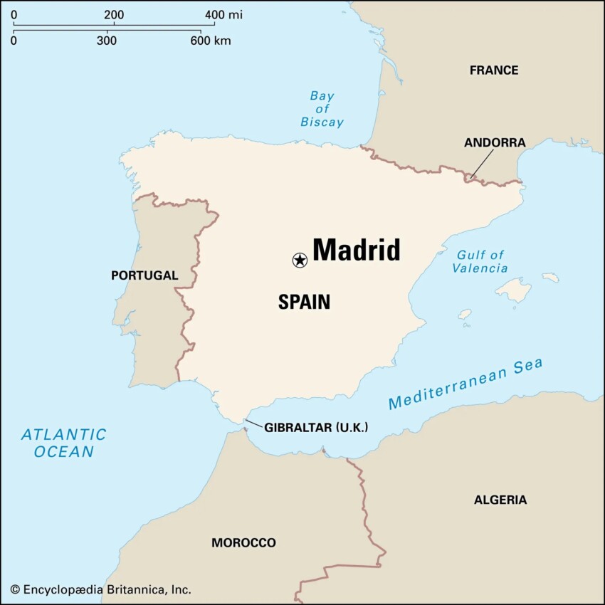

 Hotel
Hotel  Budget accommodations
  Apartments
  Family Hotel
  Luxury Hotel
  Resorts